Aerial Documentation
Single-visit documentation for standard crash scenes.
- High-resolution aerial photography
- 4K video documentation
- Geotagged, timestamped imagery
- Full flight logs included
- Delivered within 48 hours
Crash scene documentation for attorneys
FAA-certified pilots capture the evidence from above, then deliver maps, 3D models, and measurements you can put in front of a jury.
Or text us the location. 24/7 emergency dispatch.
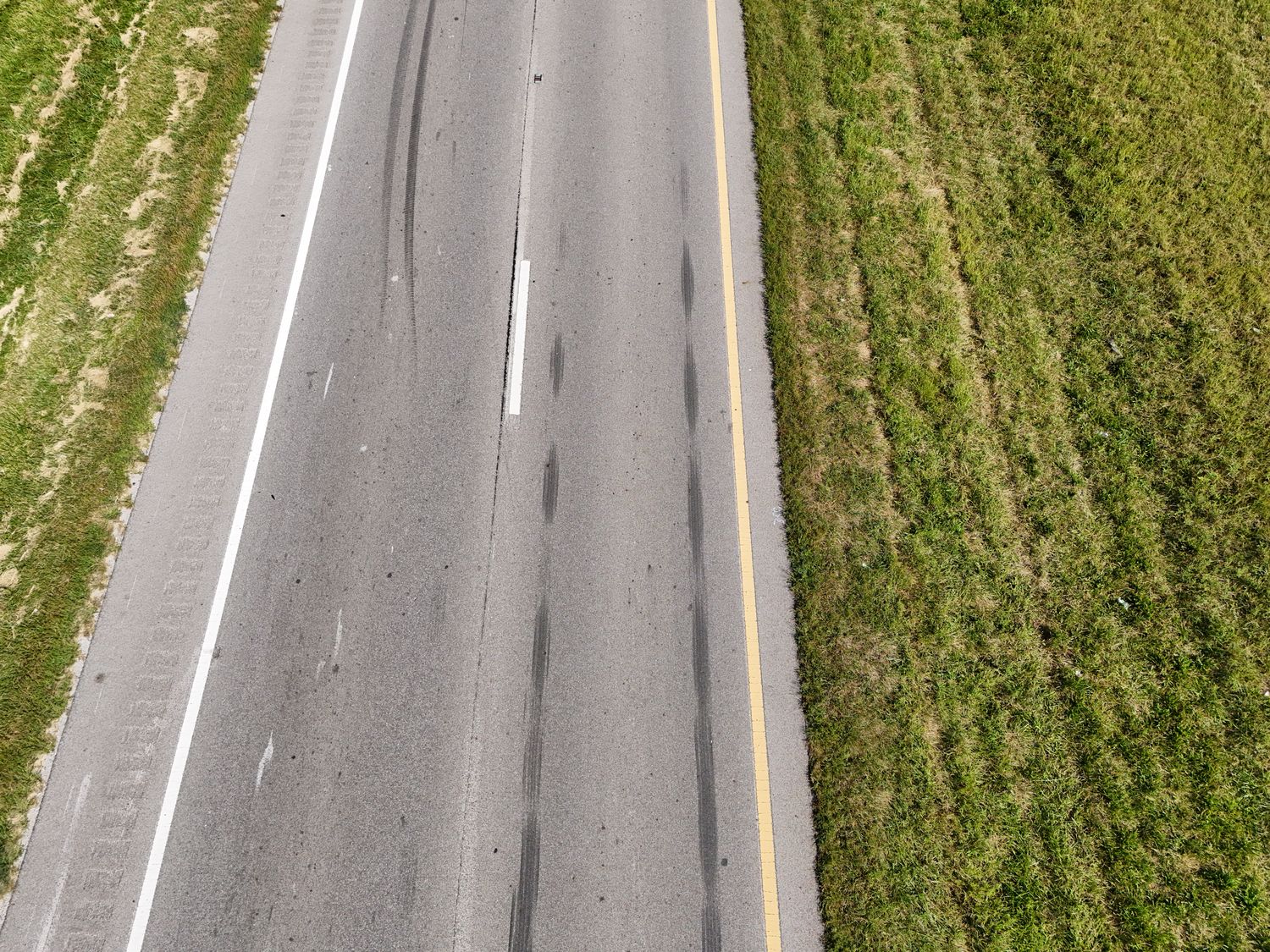
Tire marks fade, fluid stains wash out, and rest positions disappear, often within days. Once traffic is moving again, the physical record of what happened is gone.
We reach your scene fast and capture it from directly overhead, then deliver documentation you can measure, present, and defend. If the crash was weeks ago, call anyway. Roadway geometry, sight lines, and surviving marks can still be documented for reconstruction.
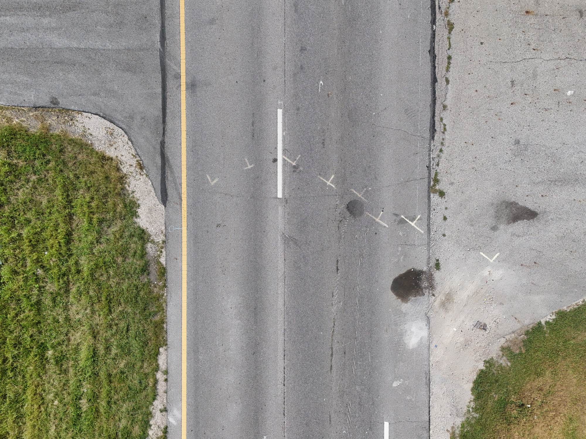
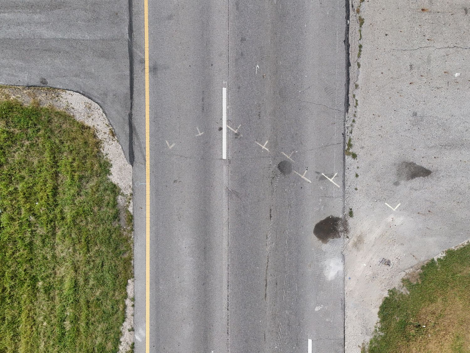
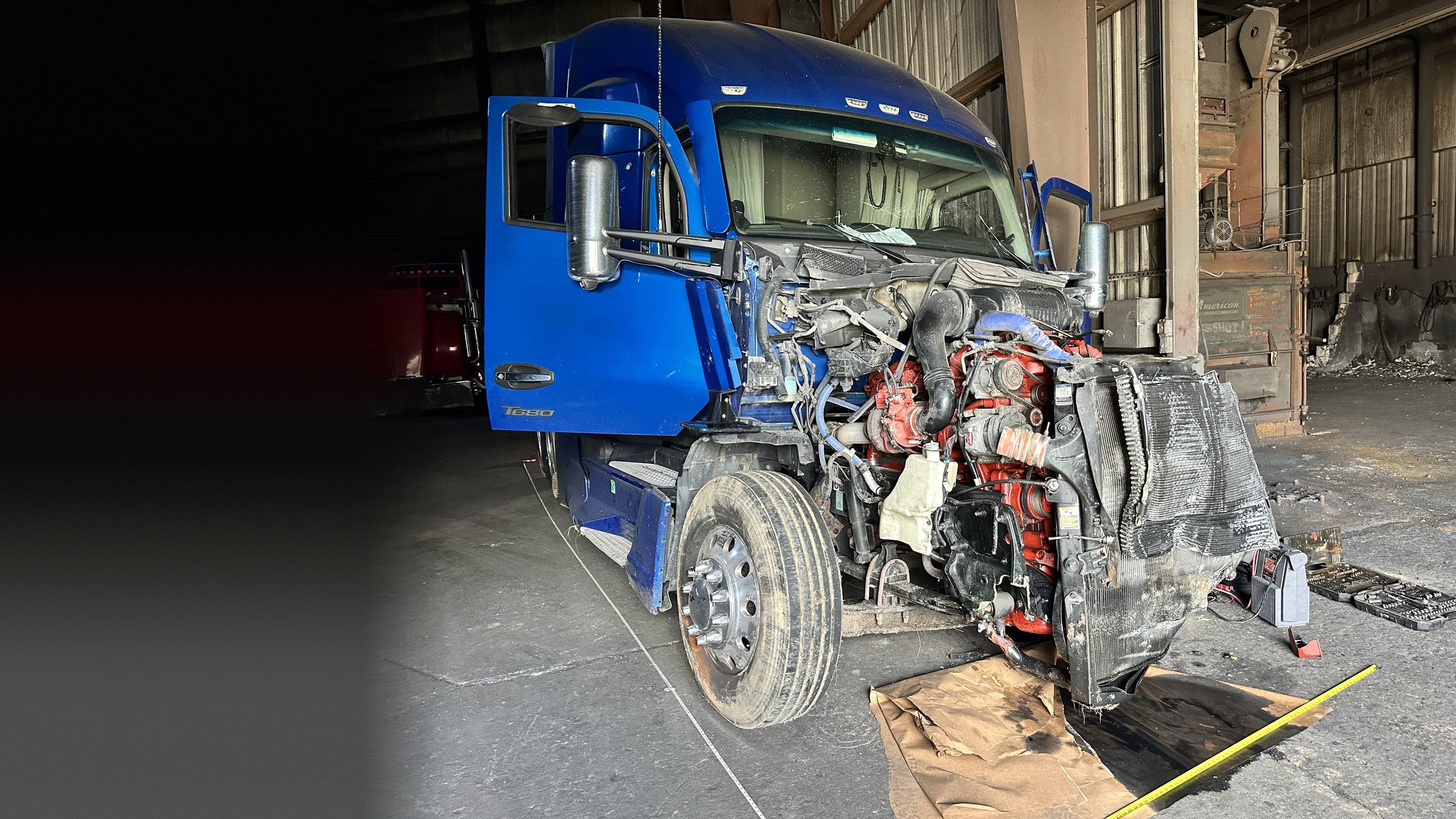
Images are from AVT field work. Locations and identifying details are withheld.
Pick the level your case needs. Complex, multi-day, or expedited scenes are quoted separately.
Single-visit documentation for standard crash scenes.
The full package for litigation-grade evidence.
Complete 3D reconstruction and survey-grade data.
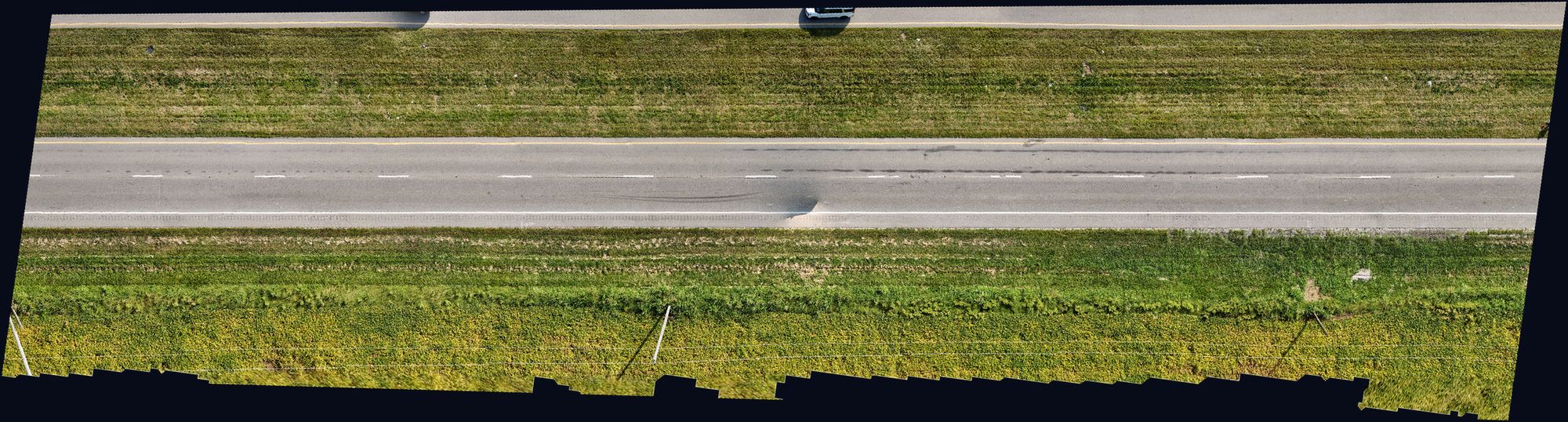
An orthomosaic stitches the aerial images into a single, geometrically corrected, top-down view. Distances read true, so it works as a trial exhibit, a deposition aid, and a base layer for your expert's analysis.
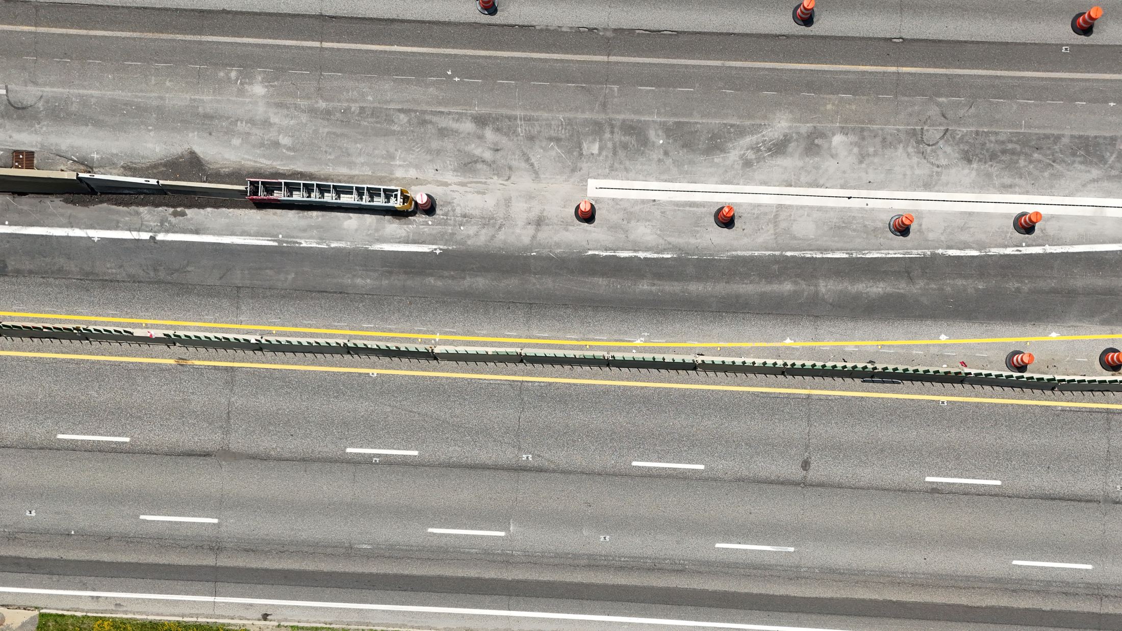
Multi-lane highway corridor. Scroll sideways to pan the scene.
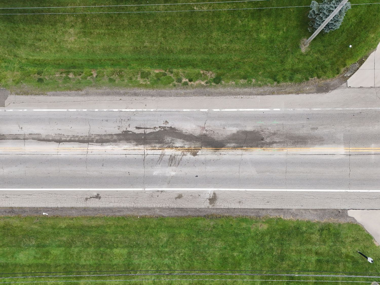
Two-lane highway segment. Tire marks are visible across the travel lanes.
Call or text the location. Our pilots head to your scene, whether it is hours after the crash or weeks later.
With live streaming, you watch the scene in real time on your phone, tablet, or desktop, from anywhere.
High-resolution stills, 4K video, RTK survey data when the case calls for it, and full flight logs.
3D models, orthomosaic maps, point clouds, video, and photography, formatted for depositions, settlement, and trial.
AVT's founder served in the U.S. Coast Guard, spent ten years in law enforcement, and worked more than 200 major accident reconstruction cases before starting AVT, to give attorneys and investigators better scene evidence.
Call or text and we move right away. Emergency dispatch is available around the clock, and same-day or next-day deployment is available on any package with a 50% rush surcharge.
Yes. Surviving marks, roadway geometry, and sight lines can still be captured and documented for reconstruction. The sooner the better, but a late scene is not a lost scene.
Admissibility is always the court's decision. We deliver geotagged, timestamped imagery with full flight logs so the record can be authenticated, and expert testimony support is available.
Packages start at $1,500 per scene. Consulting and custom scopes are $295 per hour. Live streaming, RTK survey, and expert witness time are available as add-ons. See the services page for full pricing.
Yes. We deploy nationwide. Scenes more than 60 miles from Cleveland carry a travel surcharge of $1.50 per mile.
Yes. Our patent-pending PACC streams live HD video to your phone, tablet, or desktop while our pilots are on scene.
The PACC is our self-powered portable aerial command center, built for agencies in the field.
Call or text the location and we will start moving. Available nationwide, with 24/7 emergency dispatch.